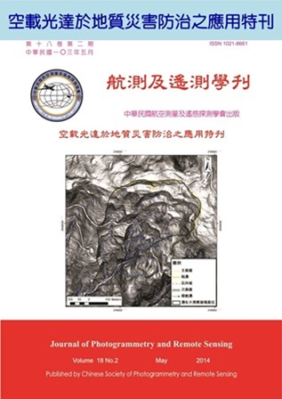
Taiwan is located on the circum-Pacific seismic zone, the active tectonic actions, steep terrain, and geological structures provide abundant debris material. The seasonal typhoons with heavy rainfall often cause landslides and debris flow .The aerial photos or satellite images are often used for interpretation of landslides, debris flow, and other geohazards, but the results are affected by topography, shades, cloud cover, and vegetation. With the development of high resolution LiDAR technique, this study uses aerial photos and satellite images as well as LiDAR shading map for identification of landslides and debris flow. Comparisons of the results from LiDAR shading maps and aerial photos are made, and differences of the interpretation results are discussed.
Using LiDAR for interpretation of landslides and debris flow provides accurately large-scale landslides identifications of and can exclude unfavorable factors in using aerial photos or satellite images. The landslides interpreted by LiDAR are mostly large-scale landslides. By LiDAR also provides good results of debris flows interpretation along with river channels, and alluvial fan. However, the small-scale landslides are difficult to identify using LiDAR shading map.

