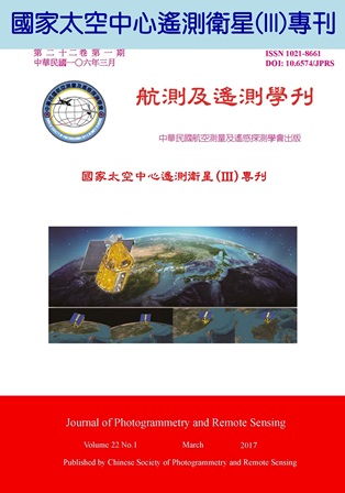
FORMOSAT-5 Remote Sensing Instrument (RSI) is the first remote-sensing payload 100% developed by National Space Organization (NSPO) in Taiwan, which contains large lens, electronic unit (EU), and telescope with high resolution CMOS sensor. RSI engineering team not only designed/manufactured the self-reliant RSI system but also assembled all components into a functioning instrument. This paper describes how the RSI important RSI performance parameters (such as SNR, MTF…… etc.) being verified and the integration & test methodology used during the instrument development. The radiometric calibration indicates that measured SNR of multispectral band are consistent with their corresponding requirements. Based on measured relative radiometric parameters, such as relative response and offset, relative radiometric calibration can properly adjust the uneven response behavior of sensor elements observed from raw imagery. The measured output signal is linearly proportional to given input radiance during radiance conversion process. For geometric calibration, polynomial coefficients of light-of-sight vector of RSI sensor with three-order degree and three Euler angles (such as roll, pitch, yaw angles) between coordinates of RSI alignment and satellite master cube are derived. For image sharpness, the measured along-track CTF of all bands are still within the potential users' acceptability. The measured across-track CTF of all bands are above their corresponding specifications. In addition, RSI calibration plan to guarantee its integrity with preliminary prediction results that is also presented. FORMOSAT-5 imagery would be believed to provide lots of essential and critical information for many applications related to monitor the Earth's resources and environment, such as base map generation, land cover classification, land use change detection, disaster mitigation, and image fusion…etc., to FORMOSAT-5 user community.
