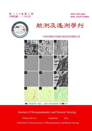
Airborne Laser Scanning (ALS) can efficiently acquire large-scale point cloud data with high accuracy, which has become the major data source for Taiwan Digital Elevation Model (DEM). When generating ALS DEM, a significant amount of manual editing is needed to ensure the ground point classification, which are later used for DEM interpolation. In order to alleviate the manual burden, this research proposed an artificial intelligence (AI) ground classification workflow based on the geometric features from the ALS data. The geometric features are calculated and orthogonally projected to compose a “feature image”, which was further used as the training data for UNet. Then, by back-projecting the image classification results, the ground point within the ALS data can be classified. Three example datasets, including city, county, and forest scenes, were examined. The results showed that, in terms of areal percentage, 85.5%, 94.6%, and 74.3% of the AI-derived DEM are within ± 20 cm of the QC-inspected DEM for city, county, and forest scene, respectively. We further suggested that the confidence value output from the AI classifier can be used as an adaptive parameter to facilitate manually point cloud editing. Different threshold can be devised for different scene.
