30卷/1期

30卷/1期

華藝線上圖書館

Pages:

1-21

論文名稱

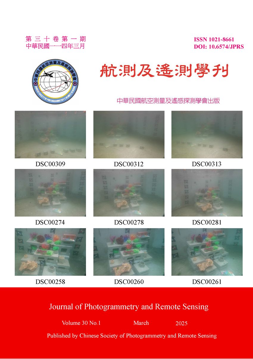
具平板玻璃介面成像系統水下物像對應及物點定位品質分析

Title

Analysis of Underwater Object-to-Image Correspondence and Object Point Positioning Quality by Using Flat-Refractive Imaging System

作者

王俊凱、趙鍵哲

Author

Chun-Kai Wang, Jen-Jer Jaw

中文摘要

在具備足夠光線或照明以及無顯著水流擾動的場域前提下,本研究探討水下攝影測量中,將相機置於防水殼內逕於水中拍攝的具平板玻璃介面成像系統,此類多介質成像路徑涵蓋水、玻璃與空氣三種介質,使光線因折射效應產生偏折,因此需精確掌握內外方位、畸變差參數及玻璃介面相關參數 (如玻璃厚度、透視中心到介面距離、玻璃傾角及折射係數),以建構正確的成像路徑並進行物像對應之解算任務。 在本研究中研擬之水下攝影測量物像對應模式下,透過模擬與實際實驗分析各參數誤差及交會幾何配置對物點定位的影響,驗證物像對應的可行性與有效性。研究結果提供水下攝影測量物空間定位的參考依據,有助於使用者在定位任務中掌握影響因子誤差並選擇符合需求之幾何配置。

Abstract

Under the premise of sufficient lighting or illumination and with insignificant water flow disturbance, this study focuses on the flat-refractive imaging system, where a camera is facilitated in a housing device and acquires the images underwater, a typical configuration in underwater photogrammetry. The imaging path of flat-refractive imaging system involves multimedia environment, where both imaging and positioning are influenced by the refraction effect. Accurate determination of interior and exterior orientation, distortion parameters, and glass-related parameters such as glass thickness, the distance from the perspective center to the interface, the tilt of the glass interface, and refractive indices is essential to construct the correct imaging path and solve tasks related to object-to-image correspondence. In the object-to-image correspondence model of underwater photogrammetry proposed in this study, simulations and actual experiments were conducted to analyze the influence of parameter errors and intersection geometry on the positioning quality of object points, validating the feasibility and effectiveness of the model. The results provide a reference for object space positioning in underwater photogrammetry, enabling users to identify the errors of influential factors and select appropriate configurations based on task requirements.
關鍵字

水下攝影測量、具平板玻璃介面成像系統、定位誤差、交會幾何、多視角

Keywords

Underwater Photogrammetry, Flat-refractive Imaging System, Positioning Error, Intersection Geometry, Multi-view

附件檔名

華芸線上圖書館

https://www.airitilibrary.com/Publication/Index?DocID=10218661-N202504150005-00001

備註說明

N / A

Pages:

23-46

論文名稱

基於幾何特徵保留的自適應點雲簡化

Title

Adaptive Point Cloud Simplification Based on Geometric Feature Preservation

作者

黃琳軒、趙鍵哲

Author

Lin-Hsuan Huang, Jen-Jer Jaw

中文摘要

光學點雲應用於各領域,龐大數據影響存儲與運算效能,如何簡化點雲並保留幾何特徵成為關鍵。現有方法多依賴經驗法則,難適應不同區域特性。本研究改進了一種基於邊緣點、特徵點及非特徵點的點雲簡化方法,採用自適應鄰域大小保留特徵。方法上,先濾除雜訊,利用主成分分析法獲取曲率與熵建立拓樸結構,區分散亂與規則區域。於提取邊緣點後,計算特徵點重要性,對非特徵點減點,完成簡化與特徵保留。實驗顯示本方法在不同場景中能有效保留主要幾何特徵,然高簡化率下,細微特徵可能模糊。除此之外,未來需透過自動化參數數值選定提升效能。

Abstract

The application of photogrammetry point clouds across various fields often faces challenges due to the massive data volume, which affects storage and computational efficiency. Simplifying point clouds while preserving geometric features has thus become a critical task. Existing methods largely rely on empirical rules, making them less adaptable to varying regional characteristics. This study improves upon a point cloud simplification method based on edge points, feature points, and non-feature points, incorporating an adaptive neighborhood size to preserve features. The approach begins with noise filtering, followed by using Principal Component Analysis (PCA) to derive curvature and entropy for constructing a topological structure that distinguishes between irregular and regular regions. After extracting edge points, the importance of feature points is assessed, and non-feature points are reduced to achieve simplification with feature retention. Experimental results show that the proposed method effectively preserves major geometric features across different scenarios. However, at high simplification rates, fine details may become blurred. In the future, performance could be further enhanced by implementing automated parameter setup.

關鍵字

點雲簡化、自適應鄰域、特徵保留、主成分分析法

Keywords

Point Cloud Simplification, Adaptive Neighborhood, Feature Preservation, Principal Component Analysis (PCA)

附件檔名

華芸線上圖書館

https://www.airitilibrary.com/Publication/Index?DocID=10218661-N202504150005-00002

備註說明

N / A

Pages:

47-55

論文名稱

太平洋十年振盪對呂宋島北部海域葉綠素a濃度之影響

Title

Impacts of Pacific Decadal Oscillation on Chlorophyll-a Concentration in the Water of North of Luzon Island

作者

曾鈺皓、何宗儒

Author

Yu-Hao Tseng, Chung-Ru Ho

中文摘要

本文利用MODIS (Moderate-resolution Imaging Spectroradiometer)-Aqua葉綠素a濃度數據,發現呂宋島北部沿海的海面葉綠素a濃度顯著高於周圍地區。在卡加延河口,太平洋十年振盪 (PDO) 冷相位的葉綠素a濃度比暖相位多出0.14 mg/m³。PDO為負值時,地轉流場顯示黑潮在呂宋島東北端以北流速減弱,而以南則增強。PDO在此時與TRMM (Tropical Rainfall Measuring Mission) 衛星的累積降雨量數據呈顯著負相關。降雨型態、流場及海底地形為呂宋島北部提供營養物質使得卡加延河口的葉綠素a濃度顯著上升。在PDO負相位時,地轉流場阻礙貧營養的黑潮水進入南海,困住該海域的葉綠素a。此研究揭示了氣候變化下降雨與洋流在調節葉綠素a濃度中的複雜關係。

Abstract

This study analyzes monthly Moderate-resolution Imaging Spectroradiometer (MODIS)-Aqua sea surface chlorophyll-a (SChl-a) data and finds significantly high SChl-a concentrations along the northern coast of Luzon Island compared to its surrounding areas. In the Cagayan River estuary near the Luzon Strait, the average SChl-a concentration in the cold phase of the Pacific Decadal Oscillation (PDO) is up to 0.14 mg/m3 higher than that in the warm phase. In months with negative PDO index (cold phase), geostrophic current composites show the oligotrophic Kuroshio current weakens north of the northeastern tip of Luzon Island (approximately 18°N) and strengthens south. A significant negative correlation was found between the PDO index and cumulative precipitation within the Cagayan River basin, as measured by the Tropical Rainfall Measuring Mission (TRMM) during this period. SChl-a concentrations thrive in the Cagayan River estuary because precipitation, geostrophic currents, and local bathymetry create an ideal environment that retains nutrient-dense materials. During the negative phase of the PDO, the pattern of the geostrophic current prevents the nutrient-poor Kuroshio water from entering the South China Sea via the southern Luzon Strait and traps the SChl-a in this sea area. This study elucidates the complex relationship between terrestrial precipitation and oceanic currents in regulating SChl-a concentrations in this important ecosystem under climatic variability.

關鍵字

北呂宋島、呂宋海峽、卡加延河、中解析度成像分光輻射計、葉綠素a濃度

Keywords

Northern Luzon Island, Luzon Strait, Cagayan River, MODIS-Aqua, Chlorophyll-a Concentration

附件檔名

華芸線上圖書館

https://www.airitilibrary.com/Publication/Index?DocID=10218661-N202504150005-00003

備註說明

N / A

Pages:

57-72

論文名稱

以WIFI人流軌跡資料分析校園空間特徵模式之研究-以逢甲大學部分大樓為例

Title

A Study on the Analysis of Campus Spatial Characteristic Patterns Using WIFI Human Flow Trajectory Data: A Case Study of Selected Buildings at Feng Chia University

作者

李姵廷、雷祖強

Author

Pei-Ting Li, Tsu-Chiang Lei

中文摘要

本研究以逢甲大學為示範場域,透過學校無線網路資訊對校內使用者空間分布情形與時空行為模式進行探討,運用「人數」與「停留時間」兩大變數,以及群集分析定義空間特徵模式,進行兩種方案的分析。研究成果顯示「流動與交流空間」主要分布於低樓層且容易到達之地方,而「研究與實驗室空間」容易受到外在條件因素的影響,產生空間特徵差異,因此本研究建議將「流動與交流空間」以更開放式的格局與相關設備的建置,來提升整體空間使用率之目標,而「研究與實驗室空間」應可設置在隱密性較高之區域,進而創建出一個基於數據驅動的智慧服務新校園。

Abstract

This research utilizes Feng Chia University as a demonstration site to investigate the spatial distribution and spatiotemporal behavioral patterns of campus users by analyzing data from the university's wireless network. Two primary variables, namely "user count" and "duration of stay," are employed alongside cluster analysis to define and categorize spatial characteristic patterns, facilitating an analysis of two distinct scenarios. The findings reveal that " flow and communication spaces" are predominantly situated in accessible locations on lower floors, whereas "research and laboratory spaces" exhibit sensitivity to external conditions, resulting in distinct spatial characteristics. Consequently, the study recommends that " flow and communication spaces " adopt a more open spatial design and incorporate relevant facilities to enhance overall utilization efficiency. In contrast, it is suggested that " research and laboratory spaces " should be strategically located in areas with higher privacy and seclusion. Ultimately, this research aims to support the establishment of a data-driven, intelligent, service-oriented campus environment.

關鍵字

智慧校園、數據挖掘、無線網路位置、室內定位技術、群集分析

Keywords

Smart Campus, Data Mining, Wireless Network Location, Indoor Positioning Technology, Cluster Analysis

附件檔名

華芸線上圖書館

https://www.airitilibrary.com/Publication/Index?DocID=10218661-N202504150005-00004

備註說明

N / A

更多學刊論文