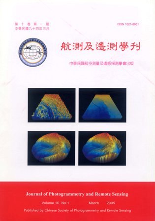
Airborne lidar system integrates the laser ranging, GPS, and inertial navigation systems. This integration provides an instrument capable for high density and high accuracy terrain relief measurement. A pilot study was conducted by the National Chiao-Tung Universtity, with support from the Council of Agriculture. This paper reports the process of this pilot study.The data acquisition includes two commercially available systems, Optech ALTM 2033 and Leica ALS 40. The flight period for the Optech ALTM 2033 is between March 20 and April 3, 2002. Test areas include the Ta-Keng of Taichung, and Jeou-Fen-Ell-San. The flight for Leica ALS 40 is conducted from April 10 to 16, 2002. Test areas include Ta-Keng, Jeou-Fen-Ell-San, Hsin-Chu, Tsao-Ling-Tarn, and Yang-Ming-San. The agreement of lidar measurements and field data gathered with RTK-GPS and total stations differs with land surface cover type. Comparing with the field data in the Jeou-Feng-Ell-San area, the root mean square error of Optech ALTM 2033 is 9.9 cm for the paved road surfaces. There are systematic errors presented in the Leica data set. After removing the average error, the root mean square error is 11.6 cm. In the area of 30% slope and covered with tea plants, the root mean square errors of both systems are less than 38 cm.
