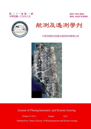
Aerial images are faithful records of landscape at that time. Historical aerial images directly witness landscape phenomena at that time of the covered region, including land-use, natural source, roads and residential area, etc. The study of historical aerial images has proven an effective way to reveal some historical phenomena related to cultural, economic, and natural changes, which are linked to the spatial information in the past. Abundant historical aerial images have been acquired in Taiwan for a variety of missions. The earliest aerial images were taken by U.S. military during and after World War II (from 1943 to 1952). Later than that many images were acquired routinely by Taiwan Air Force (1954 to 1976), Aerial Survey Office (since 1976). For the purpose of retrieving spatial information from the historical images, image registration and rectification corresponding to the ground coordinates should be done in advance. In this study, we take Tai-jiang Inner Sea as an example to register and rectify temporal aerial images into nowadays national coordinate system (TWD97). Images acquired by Aerial Survey Office are standard aerial images which can be registered through a computation process of bundle adjustment. However, the main purposes of images taken by U.S. military and Taiwan Air Force were mainly applied for military reconnaissance. These images are lack of camera parameters and the overlapped of them are not standard. So they do not fit the process of bundle adjustment. In this study, we attempt to obtain the information of registration and rectification by solving affine transformation parameters from all overlapped images at the same period. Although this method are not as strict as aerial triangulation, it can work without camera parameters. The experimental results showed that the accuracy of images taken by U.S. military can up to 6.5 m by applying affine transformation. The accuracy was poor than images taken by Aerial Survey Office using aerial triangulation (2m). But we believe this can meet the analysis of temporal geographic information and promote the application of historical aerial images.
