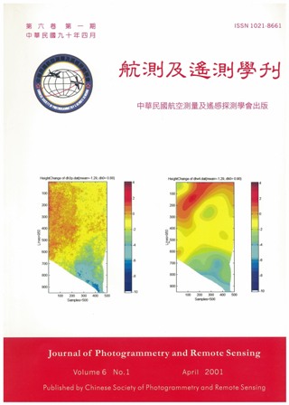
In this work, the technique of differential interferometry is used to find the displacement field and to estimate the terrain subsidence of a 45 km x 25 km coastal area, Ton-Kang, of west-south Taiwan. We perform a three-pass differential interferometry, using three SAR images from ERS1 and ERS2, dated Jan. 31, 1996, Feb. 1, 1996, and May 16, 1996, respectively. The first two images are taken on two consecutive days in tandem mode, thus having relatively high coherence. We use them to obtain a DEM, fairly accurate except for the mountainous area. The third image is taken much later, and it is used to produce the displacement filed for this period. The subsidence of this area has been the subject of a previous GPS study (Central Geological Survey), dated November 1996 to July 1997. Comparison shows that our result is consistent with it, both in the pattern of subsidence and in its magnitude (about 2cm/month). We conclude that, given suitable SAR images, the differential interferometry can be a useful tool for monitoring the earth surface displacement even for a subtropical, densely vegetative area like Taiwan.
